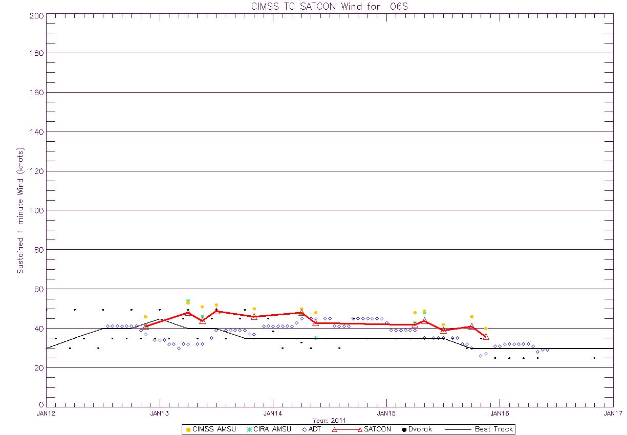
2nd Larger RI --> T6.5, 115 knots on Best Track
Posted by
JAC on 12/15/2009, 3:20 pm
http://rammb.cira.colostate.edu/products/tc_realtime/4kmsrbdc_loop.asp?storm_identifier=SH062010&starting_image=2010SH06_4KMSRBDC_200912130930.jpg
http://cimss.ssec.wisc.edu/tropic2/real-time/adt/odt06S.html


TOP PRIORITY FOR IMMEDIATE BROADCAST
TROPICAL CYCLONE ADVICE NUMBER 37
Issued at 2:50 am WST on Wednesday, 16 December 2009
BY THE BUREAU OF METEOROLOGY
TROPICAL CYCLONE WARNING CENTRE PERTH
A Cyclone WARNING is current for coastal areas from Mitchell Plateau to Beagle
Bay.
A Cyclone WATCH is current for adjacent areas to the south.
At 2:00 am WST Severe Tropical Cyclone Laurence, Category 4 was estimated to be
55 kilometres north of Kuri Bay and
155 kilometres northeast of Cockatoo Island and
moving southwest at 11 kilometres per hour.
Severe Tropical Cyclone Laurence is a small but intense tropical cyclone having
VERY DESTRUCTIVE WINDS with gusts to 230 kilometres per hour close to the
cyclone centre. As Laurence tracks to the southwest near the Kimberley coast
VERY DESTRUCTIVE winds may develop at Kuri Bay during Wednesday morning.
GALES with gusts to 100 kilometres per hour should extend further southwest
along the coast, reaching Cockatoo and Koolan Islands during Wednesday and
should the centre pass close by VERY DESTRUCTIVE winds are possible during the
afternoon and evening. GALES may extend to Derby and Beagle Bay overnight
Wednesday.
HEAVY RAIN is expected to continue over the north Kimberley region, extending
into the western Kimberley during Wednesday. Daily rainfall totals in excess of
100mm are possible near the coast with totals decreasing further inland.
FESA-State Emergency Service advises of the following community alerts:
RED ALERT: People in or near Kuri Bay need to go to shelter immediately.
YELLOW ALERT: People at or near Mitchell Plateau should be taking action.
BLUE ALERT: People in or near the communities of Koolan Island and Cockatoo
Island should start taking precautions.
ALL CLEAR: People in Kalumburu are advised that wind danger has passed but you
need to take care to avoid any danger caused by the heavy rain.
Details of Severe Tropical Cyclone Laurence at 2:00 am WST:
.Centre located near...... 15.0 degrees South 124.5 degrees East
.Location accuracy........ within 30 kilometres
.Recent movement.......... towards the southwest at 11 kilometres per hour
.Wind gusts near centre... 230 kilometres per hour
.Severity category........ 4
.Central pressure......... 954 hectoPascals
The next advice will be issued by 6:00 am WST Wednesday 16 December.
Cyclone advices and State Emergency Service Community Alerts are available by
dialling 1300 659 210
A map showing the track of the cyclone is available at:
http://www.bom.gov.au/weather/cyclone
|
34
In this thread:
Laurence Dumping the NW Aussie Coast -
JAC,
12/15/2009, 5:30 am- Re: Laurence Dumping the NW Aussie Coast - JAC, 12/15/2009, 2:16 pm
- Small RI - JAC, 12/15/2009, 11:54 am
- 2nd Larger RI --> T6.5, 115 knots on Best Track - JAC, 12/15/2009, 3:20 pm
- Visible Eye for a few hours - JAC, 12/15/2009, 7:09 am
- Oil Rigs Close Near Australia as Cyclone Intensifies (Update1) - JAC, 12/15/2009, 5:46 am
Post A Reply
This thread has been archived and can no longer receive replies.

