Impressive Wave in East Atlantic at 32W
Posted by JAC on 5/12/2010, 6:27 am


139
In this thread:
- Sat Shots - Doorman, 5/12/2010, 7:05 pm
- one more look - Doorman, 5/12/2010, 8:18 pm
- Were did that come from - all of a sudden a roll and decent LL vorticity - JAC, 5/12/2010, 4:51 pm
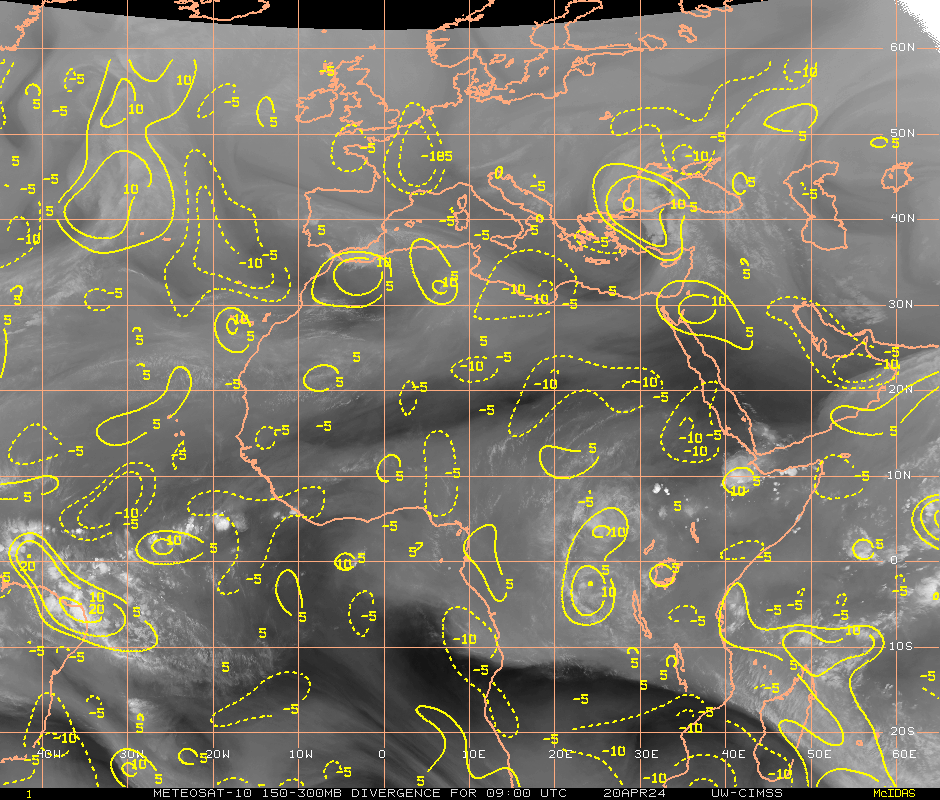
- Also looks like a poleward outflow channel formed. - JAC, 5/12/2010, 4:52 pm
- Active - JAC, 5/12/2010, 4:56 pm
- Also looks like a poleward outflow channel formed. - JAC, 5/12/2010, 4:52 pm
- Re: Impressive Wave in East Atlantic at 32W - BobbiStorm, 5/12/2010, 9:55 am
- Re: Impressive Wave in East Atlantic at 32W - JAC, 5/12/2010, 11:50 am
- CMC - JAC, 5/12/2010, 6:32 am
- Shear is still relentless - JAC, 5/12/2010, 6:39 am
- Kinda Ditto with GFS - JAC, 5/12/2010, 6:34 am
- washing up on coast of South America - BobbiStorm, 5/12/2010, 9:57 am
- I would say more July-ish looking - JAC, 5/12/2010, 4:48 pm
- washing up on coast of South America - BobbiStorm, 5/12/2010, 9:57 am
Post A Reply
This thread has been archived and can no longer receive replies.