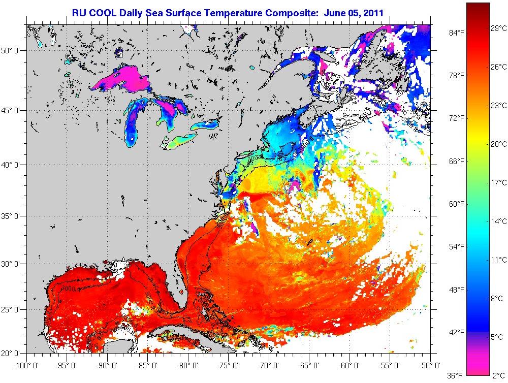
17N77W Pics
Posted by Target on 6/6/2011, 12:01 am
74
In this thread:
Tale of two invests.... - Doorman, 6/5/2011, 5:48 pm
- Re: Tale of two invests.... - stormlover, 6/5/2011, 5:50 pm
- Re: Tale of two invests.... - Doorman, 6/5/2011, 6:00 pm
- Re: Tale of two invests.... - CypressTX, 6/5/2011, 6:21 pm
- Green Spot on Funktop at 17N78W (JUN 6 11 03:45 UTC) - Target, 6/6/2011, 12:23 am
- Re: Green Spot on Funktop at 17N78W (JUN 6 11 03:45 UTC) - freesong, 6/6/2011, 1:19 am
- Alternative IR and WV Loops - Target, 6/6/2011, 1:24 am
- Re: Alternative IR and WV Loops - Chris in Tampa, 6/6/2011, 2:06 am
- GFDL puts 94L in FL Panhandle, CMC now East of FL - Target, 6/6/2011, 10:32 am
- Re: Alternative IR and WV Loops - Chris in Tampa, 6/6/2011, 2:06 am
- Alternative IR and WV Loops - Target, 6/6/2011, 1:24 am
- Re: Green Spot on Funktop at 17N78W (JUN 6 11 03:45 UTC) - freesong, 6/6/2011, 1:19 am
- Green Spot on Funktop at 17N78W (JUN 6 11 03:45 UTC) - Target, 6/6/2011, 12:23 am
- Re: Tale of two invests.... - CypressTX, 6/5/2011, 6:21 pm
- Re: Tale of two invests.... - Doorman, 6/5/2011, 6:00 pm
Post A Reply
This thread has been archived and can no longer receive replies.


