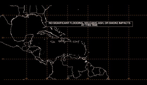
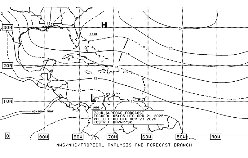
8PM TWO
Posted by cypresstx on 10/19/2014, 9:25 pm
198
In this thread:
Hanna you're on deck - jimw, 10/19/2014, 8:09 am
- Starting to come together... - beachman80, 10/20/2014, 12:25 pm
- Re: Hanna you're on deck - hanna, 10/19/2014, 10:02 am
- Re: Hanna you're on deck - Chris in Tampa, 10/19/2014, 10:34 am
- Re: Hanna you're on deck - Chris in Tampa, 10/19/2014, 8:56 am
- still in EP on CIRA - cypresstx, 10/19/2014, 11:01 am
- wind analysis at 06Z - cypresstx, 10/19/2014, 11:29 am
- Re: wind analysis at 06Z - hanna, 10/19/2014, 8:42 pm
- Re: 8PM TWO - cypresstx, 10/19/2014, 9:30 pm
- 19.5N94.5W from Dvorak Loop at 5:45 UTC - Target, 10/20/2014, 3:30 am
- Re: 8PM TWO - cypresstx, 10/19/2014, 9:30 pm
- Re: wind analysis at 06Z - hanna, 10/19/2014, 8:42 pm
- wind analysis at 06Z - cypresstx, 10/19/2014, 11:29 am
- still in EP on CIRA - cypresstx, 10/19/2014, 11:01 am
Post A Reply
This thread has been archived and can no longer receive replies.


