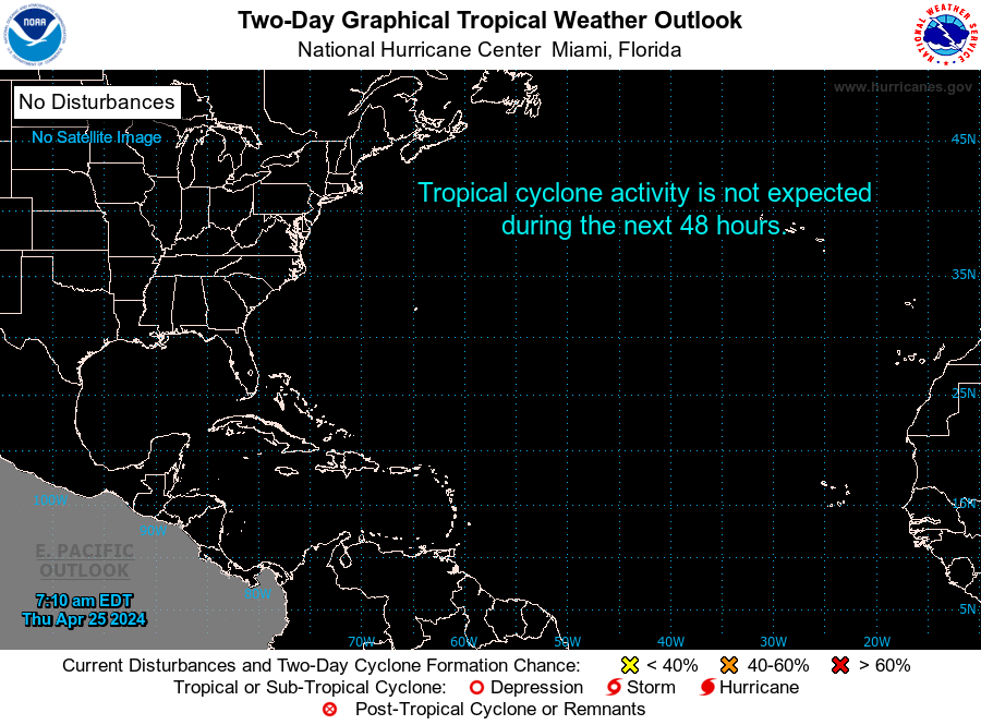
8PM
Posted by cypresstx on 8/9/2016, 8:42 pm
95
In this thread:
NE Gulf - cypresstx, 8/5/2016, 6:45 am
- Re: NE Gulf - AquaRN, 8/6/2016, 10:31 pm
- twitter list - cypresstx, 8/5/2016, 6:55 am
- WPC Met Watch - cypresstx, 8/5/2016, 10:49 am
- dubbed Pouch 14L - cypresstx, 8/5/2016, 5:04 pm
- Re: dubbed Pouch 14L - Gianmarc, 8/6/2016, 4:14 pm
- maybe trigger sinkholes? - cypresstx, 8/6/2016, 6:35 pm
- Re: maybe trigger sinkholes? - Gianmarc, 8/7/2016, 8:39 am
- soggy outlooks - cypresstx, 8/7/2016, 9:45 am
- Re: soggy outlooks - stevemc12, 8/8/2016, 8:48 pm
- Re: soggy outlooks - LawKat, 8/8/2016, 10:24 pm
- Re: soggy outlooks - jimw, 8/9/2016, 5:47 pm
- Re: soggy outlooks - LawKat, 8/9/2016, 6:08 pm
- Re: soggy outlooks - LawKat, 8/9/2016, 6:08 pm
- Re: soggy outlooks - jimw, 8/9/2016, 5:47 pm
- Re: soggy outlooks - LawKat, 8/8/2016, 10:24 pm
- And the big question is: WHY?? - Beachlover, 8/7/2016, 9:38 pm
- Re: soggy outlooks - stevemc12, 8/8/2016, 8:48 pm
- soggy outlooks - cypresstx, 8/7/2016, 9:45 am
- Re: maybe trigger sinkholes? - Gianmarc, 8/7/2016, 8:39 am
- maybe trigger sinkholes? - cypresstx, 8/6/2016, 6:35 pm
- Re: dubbed Pouch 14L - Gianmarc, 8/6/2016, 4:14 pm
- dubbed Pouch 14L - cypresstx, 8/5/2016, 5:04 pm
- WPC Met Watch - cypresstx, 8/5/2016, 10:49 am
Post A Reply
This thread has been archived and can no longer receive replies.
