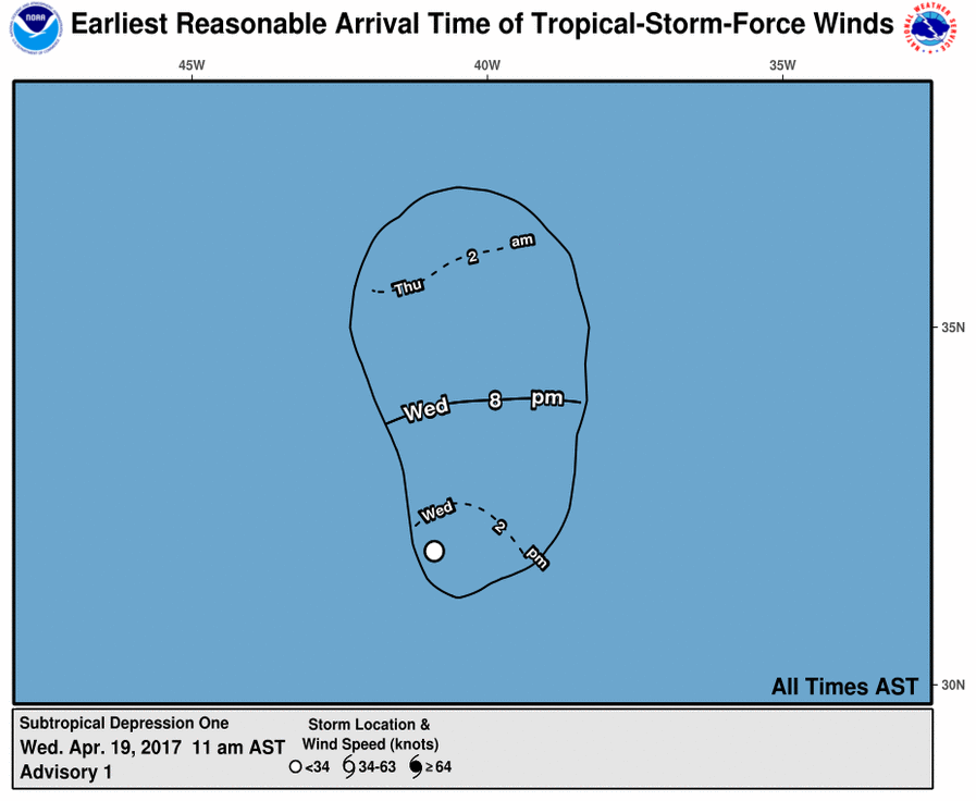
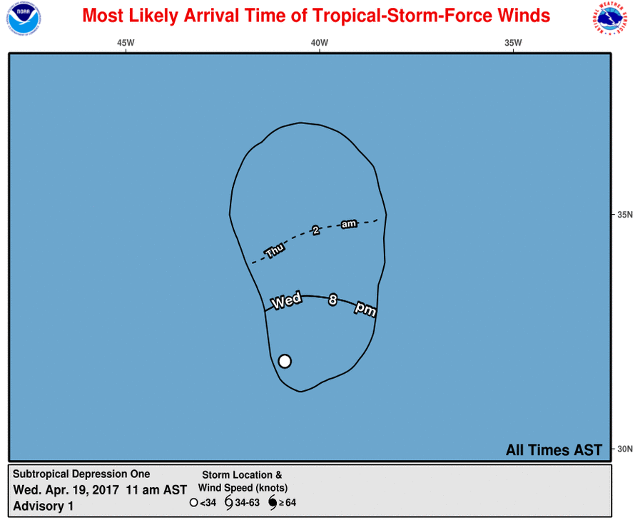
And more changes - including storm force wind arrival times (new)
Posted by tvsteve on 6/18/2017, 3:00 pm
67
In this thread:
GFDL model has been retired - Chris in Tampa, 6/18/2017, 12:31 pm
- Early vs. Late Models and about interpolated models - Chris in Tampa, 6/18/2017, 2:11 pm
- Track Forecasting at the NHC - Chris in Tampa, 6/18/2017, 3:00 pm
- Ensembles and Consensus Models - Chris in Tampa, 6/18/2017, 2:25 pm
- Hierarchy of Tropical Cyclone Track Models - Chris in Tampa, 6/18/2017, 2:33 pm
- Three-Dimensional Dynamical Models - Chris in Tampa, 6/18/2017, 2:55 pm
- Simplified Dynamical Models - Chris in Tampa, 6/18/2017, 2:48 pm
- Climatology and Persistence Model (CLIPER) - Chris in Tampa, 6/18/2017, 2:47 pm
- Hierarchy of Tropical Cyclone Track Models - Chris in Tampa, 6/18/2017, 2:33 pm
- Re: GFDL model has been retired - canetrakker, 6/18/2017, 1:38 pm
- Re: GFDL model has been retired - Chris in Tampa, 6/18/2017, 1:52 pm
- Re: GFDL model has been retired - canetrakker, 6/18/2017, 3:41 pm
- Re: GFDL model has been retired - canetrakker, 6/18/2017, 2:55 pm
- Re: GFDL model has been retired - Chris in Tampa, 6/18/2017, 1:52 pm
- Actual retirement might be July 5th - Chris in Tampa, 6/18/2017, 1:08 pm
- Changes page also talks about GFS upgrade on July 19th - Chris in Tampa, 6/18/2017, 1:15 pm
- Changes page also talks about GFS upgrade on July 19th - Chris in Tampa, 6/18/2017, 1:15 pm
- Some info about HMON compared to GFDL - Chris in Tampa, 6/18/2017, 12:54 pm
Post A Reply
This thread has been archived and can no longer receive replies.

