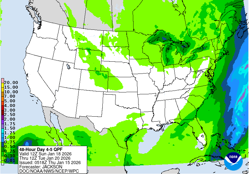
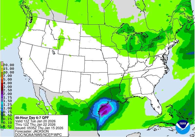
there was chatter on our local board about that also
Posted by cypresstx on 7/6/2019, 9:39 am
82
In this thread:
Ten Days Out (probably useless) - Target, 7/5/2019, 1:26 am
- now an orange circle - 40% in 5 day - cypresstx, 7/7/2019, 9:59 am
- OPC 9-hr forecast - cypresstx, 7/7/2019, 10:07 am
- typo: should be "96-hr" n/t - cypresstx, 7/7/2019, 10:09 am
- OPC 9-hr forecast - cypresstx, 7/7/2019, 10:07 am
- Re: Ten Days Out (probably useless) - Beachlover, 7/5/2019, 6:49 pm
- Re: there was chatter on our local board about that also - Beachlover, 7/6/2019, 11:40 am
- yellow circle 20% in 5 day - cypresstx, 7/6/2019, 9:49 pm
- Seven Days Out - Target, 7/8/2019, 12:47 am
- yellow circle 20% in 5 day - cypresstx, 7/6/2019, 9:49 pm
- Re: there was chatter on our local board about that also - Beachlover, 7/6/2019, 11:40 am
Post A Reply
This thread has been archived and can no longer receive replies.

