Is 94L Working its Way into the GOM Today?
Posted by JAC on 8/9/2010, 7:51 am


327
In this thread:
- Orange Circle at 2PM - JAC, 8/9/2010, 1:48 pm
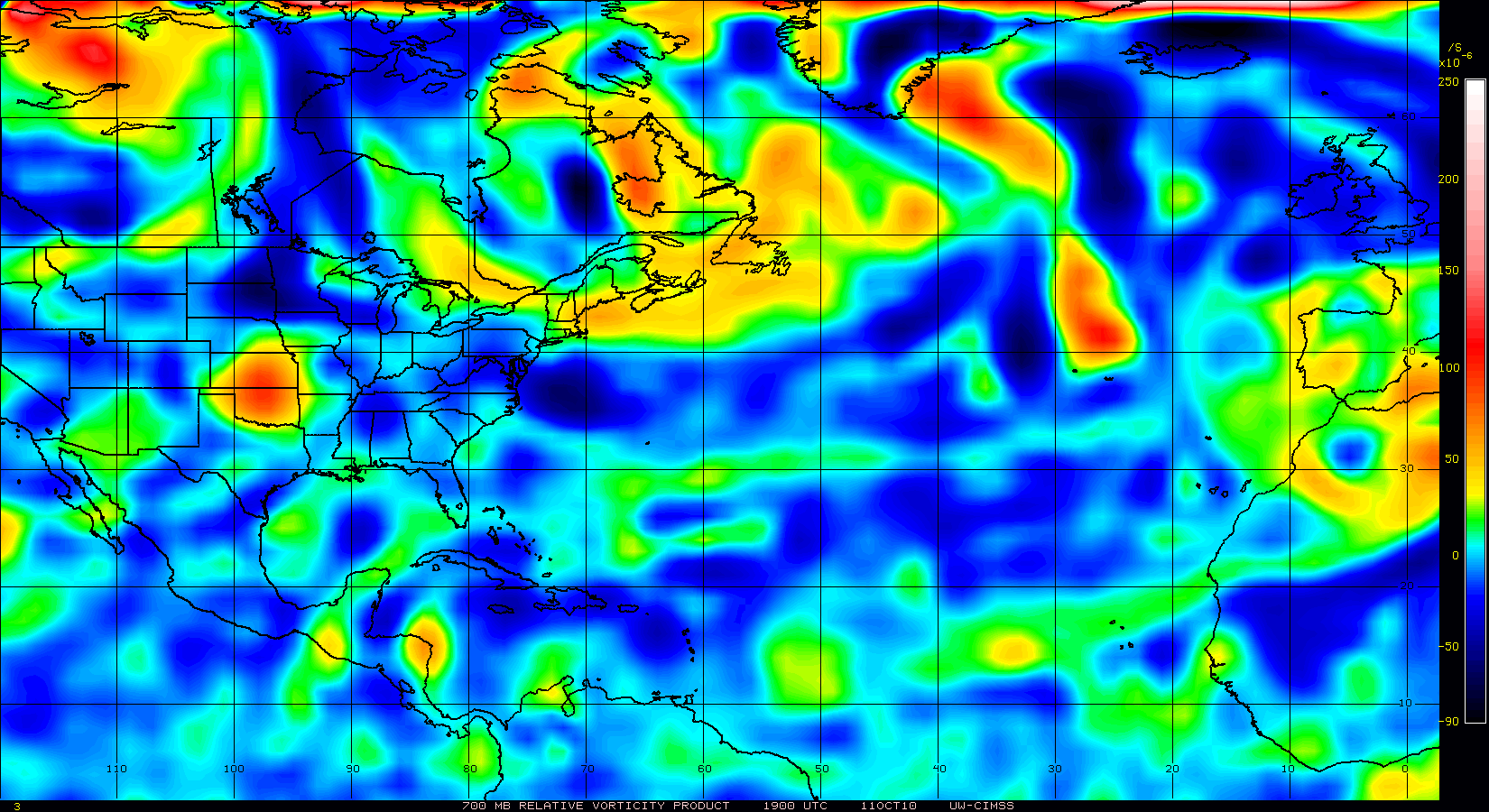
- TUTT anchoring in at 27N 75W - JAC, 8/9/2010, 1:03 pm
- Re: TUTT anchoring in at 27N 75W - AlligatorPointer, 8/9/2010, 1:19 pm
- Re: TUTT anchoring in at 27N 75W - JAC, 8/9/2010, 1:24 pm
- Re: TUTT anchoring in at 27N 75W - AlligatorPointer, 8/9/2010, 1:19 pm
- ADT has now repositioned the LLC. Core is well structured at 1C. - JAC, 8/9/2010, 11:12 am
- Updated RECON Schedule - JAC, 8/9/2010, 10:48 am
- 12Z Tropical Models initialized SW of Ft. Myers - DTB_2009, 8/9/2010, 9:46 am
- Re: 12Z Tropical Models initialized SW of Ft. Myers - JAC, 8/9/2010, 10:24 am
- Re: 12Z Tropical Models initialized SW of Ft. Myers - DTB_2009, 8/9/2010, 10:35 am
- Winds really picking up at buoy west of Naples - JAC, 8/9/2010, 10:55 am
- CAPE & Surface Winds are Picking Fast - JAC, 8/9/2010, 11:04 am
- Re: CAPE & Surface Winds are Picking Fast - Greenizz, 8/9/2010, 11:15 am
- Re: CAPE & Surface Winds are Picking Fast - JAC, 8/9/2010, 11:24 am
- Re: CAPE & Surface Winds are Picking Fast - Greenizz, 8/9/2010, 11:35 am
- Re: CAPE & Surface Winds are Picking Fast - JAC, 8/9/2010, 11:24 am
- Re: CAPE & Surface Winds are Picking Fast - Greenizz, 8/9/2010, 11:15 am
- CAPE & Surface Winds are Picking Fast - JAC, 8/9/2010, 11:04 am
- Winds really picking up at buoy west of Naples - JAC, 8/9/2010, 10:55 am
- Re: 12Z Tropical Models initialized SW of Ft. Myers - DTB_2009, 8/9/2010, 10:35 am
- Re: 12Z Tropical Models initialized SW of Ft. Myers - JAC, 8/9/2010, 10:24 am
- Re: Is 94L Working its Way into the GOM Today? - BobbiStorm, 8/9/2010, 8:29 am
Post A Reply
This thread has been archived and can no longer receive replies.