TX fires
Posted by cypresstx on 9/5/2011, 11:30 am
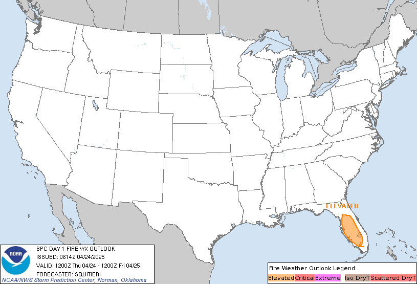
| this includes none of the numerous smaller files in Harris County from the past several days... http://txforestservice.tamu.edu/main/article.aspx?id=12888 http://ticc.tamu.edu/Documents/Home/tx_sitrep.pdf (very lrg file) Wildfire Update - Sept. 5, 2011 Current situation: Texas Forest Service responded to at least 56 new fires Sunday that burned approximately 30,000 acres, including the following large fires: BASTROP COUNTY COMPLEX, Bastrop County. 14,000 acres, no containment. Heavy airtankers and single-engine airtankers assisted on this fire that started in the Lost Pines area just northeast of Bastrop. The fire has moved unchecked for at least 16 miles to the south and has jumped the Colorado River twice. The Circle D, K.C. Estates, Pine Forest, Colovista and Tahitian Village subdivision have been evacuated. Firefighters are trying to hold the fire at FM 2571. Reports indicate possibly 300 homes have been destroyed. STEINER RANCH, Travis County. 150 acres, no containment. The fire started just north of the Steiner Ranch subdivision. More than 1,000 homes are under mandatory evacuation in Steiner Ranch. At least 25 homes are reported lost. A Texas Intrastate Fire Mutual Aid System strike team responded. HENDERSON #495, Henderson County. 5,000 acres, unknown containment. Three homes were saved. #491, Limestone County. 3,000 acres, unknown containment. Six homes were saved and one was lost on this fire 20 miles east of Waco. DELHI, Caldwell County. 1,000 acres, unknown containment. Twenty homes were saved and six were lost on this fire east of Lockhart. BAILEY, Colorado County. 1,000 acres, unknown containment. This fast-moving fire threatened 40 homes near Columbus. Blackhawks, single-engine airtankers, and a heavy airtanker assisted. MOORE, Smith County. 927 acres, 5 percent contained. Ten homes were evacuated and five were lost on this fire burning on the Smith/Gregg County line. Two civilian fatalities were reported. #545, Upshur County. 500 acres, unknown containment. One hundred homes were saved; none lost. The fire is burning East of Gilmer. LUTHERHILL, Fayette County. 400 acres, unknown containment. The community of Ruttersville was evacuated. BONBIEW RANCH, Van Zandt County. 350 acres, unknown containment. Twenty homes were saved southeast of Canton. CLEMANIS, Upshur County. 400 acres, 85 percent contained. Twenty homes were saved. #543, Gregg County. 300 acres, unknown containment. Numerous homes were saved, none lost. #538, Harrison County. 200 acres, contained. One hundred fifty homes were evacuated in a trailer park east of Longview. #502, Nacogdoches County. 200 acres, unknown containment. More than a dozen homes have been evacuated, but none lost. #841, Houston County. 200 acres, unknown containment. Fifteen homes were threatened east of Crockett. PLEASANT GREEN ROAD, Gregg County. 150 acres, contained. Numerous homes evacuated and saved south of Longview. KENNEDY ROAD, Rusk County. 150 acres, unknown containment. Numerous homes threatened, one lost. HODDE, Travis County. 325 acres, contained. Two hundred homes were evacuated and saved east of Pflugerville. No homes reported lost. PETTYTOWN, Caldwell County. 200 acres, 90 percent contained. Twenty homes were saved east of Lockhart. OLD MAGNOLIA, Gregg County. 100 acres, unknown containment. No homes threatened. Two fuel tanks exploded. SOUTH SULPHER, Hunt County. 100 acres, 70 percent contained. Five homes were threatened and two were destroyed. #839, Leon County. 100 acres, unknown containment. Fifteen homes are reported lost.  ZCZC SPCFWDDY1 ALL FNUS21 KWNS 050652 DAY 1 FIRE WEATHER OUTLOOK NWS STORM PREDICTION CENTER NORMAN OK 0152 AM CDT MON SEP 05 2011 VALID 051200Z - 061200Z ...CRITICAL FIRE WEATHER AREA FOR PORTIONS OF CNTRL/ERN TX... ...SYNOPSIS... UPPER TROUGH MOVING ACROSS THE GREAT LAKES REGION EARLY THIS MORNING WILL AID IN OPENING UP CLOSED CIRCULATION ASSOCIATED WITH TROPICAL DEPRESSION LEE...EFFECTIVELY AMPLIFYING THE NRN STREAM TROUGH AS IT PROGRESSES INTO THE ERN CONUS. ASSOCIATED SURFACE COLD FRONT EXTENDING SWWD FROM THE MID ATLANTIC INTO THE SRN MS VALLEY WILL DEVELOP FRONTAL WAVE CHARACTERISTICS AS IT INTERSECTS LEE/S SURFACE CYCLONE...WITH SECONDARY FRONTAL SEGMENT TRAILING SWWD INTO THE GULF OF MEXICO. LARGE AREA OF HIGH PRESSURE LOCATED UPSTREAM FROM THE SURFACE FRONT WILL BECOME POSITIONED FROM THE UPR MS VALLEY INTO THE SRN HIGH PLAINS BY MID/LATE AFTERNOON. FARTHER W...UPPER DISTURBANCE IS FORECAST TO MOVE ACROSS NRN CA/NWRN NV AND ORE DURING THE AFTERNOON...AIDING IN ISOLATED THUNDERSTORM DEVELOPMENT. ...PORTIONS OF CNTRL/ERN TX... NO CHANGES ARE NECESSARY FOR THE ONGOING CRITICAL DELINEATION LOCATED OVER PORTIONS OF CNTRL/ERN TX. TIGHT PRESSURE GRADIENT POSITIONED S OF SURFACE HIGH CENTERED OVER THE UPR MS VALLEY WILL AID IN SUSTAINED WIND SPEEDS FROM 20-25 MPH. POTENTIAL FOR HIGH END GUSTS SHOULD BE LOWER TODAY AS NLY LOW-LEVEL SPEED MAX W OF TROPICAL DEPRESSION LEE SHIFTS EWD DURING THE AFTERNOON. GPS DERIVED PWAT IMAGERY SHOWS VALUES AOB 0.50 IN MOVING SWD ACROSS SRN KS/NRN OK AT 04Z...AND LATEST MODEL OUTPUT ADVECTS THIS DRY AIRMASS SWD THROUGH MUCH OF TX BY LATE AFTERNOON. WITH TEMPERATURES WARMING INTO THE 80S ACROSS CNTRL/ERN TX...MIN RH VALUES FROM 15-25 PERCENT APPEAR PROBABLE. THESE CONDITIONS COMBINED WITH ONGOING EXTREME/EXCEPTIONAL DROUGHT WILL FAVOR A CRITICAL FIRE WEATHER THREAT. |
275
In this thread:
TX fires - cypresstx, 9/5/2011, 11:30 am
- dry air to the extreme.... - Anung Mwka, 9/5/2011, 6:52 pm
- Re: dry air to the extreme.... - cypresstx, 9/5/2011, 7:40 pm
- interactive map from tx forest service - cypresstx, 9/5/2011, 8:28 pm
- Re: dry air to the extreme.... - cypresstx, 9/5/2011, 7:40 pm
- Re: TX fires - Gianmarc, 9/5/2011, 12:47 pm
- Re: TX fires - cypresstx, 9/5/2011, 1:31 pm
- Re: TX fires - Robbi, 9/5/2011, 2:54 pm
- Re: TX fires - cypresstx, 9/5/2011, 1:31 pm
- Re: TX fires - Robbi, 9/5/2011, 11:41 am
< Return to the front page of the: message board | monthly archive this page is in
Post A Reply
This thread has been archived and can no longer receive replies.