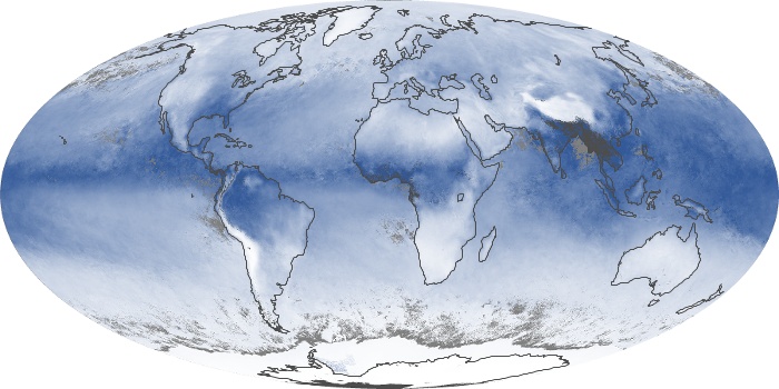
forgot the link, oops
Posted by cypresstx on 6/3/2012, 12:13 pm
79
In this thread:
First Day of the Atlantic Hurricane Season - Chris in Tampa, 6/1/2012, 1:31 am
- from NASA Earth Observatory - cypresstx, 6/1/2012, 2:52 pm
Post A Reply
This thread has been archived and can no longer receive replies.