Home
|
Post New Message
|
Member Map
|
Chat
|
Register
|
Login
--- Quick Links ---
HurricaneCity.com
- Live Broadcast (when hurricanes hit)
- City / Island Database for Landfalls
- City / Island Ranking (top 50)
- Donate to HurricaneCity
- Jim's City Predictions
- Hurricane Models (from NHC)
- Hurricane Hunter Reconnaissance
- How to Use Hurricane Maps
TropicalAtlantic.com
- Satellite Imagery
- Radar Imagery
- Other Model Data
HurricaneCity
|
|
Rules
|
Settings
CaneTalk
Home Page
Post New Message
Member Map
Chat Room
Search
Register
Login
Help
Contact HurricaneCity
Contact The Webmaster
Board Rules
Terms of Use
Privacy Policy
Settings
HurricaneCity
Home Page
Live Broadcast (when hurricanes hit)
City / Island Database for Landfalls
City / Island Ranking (top 50)
Jim's City Predictions
Hurricane Models (from NHC)
Hurricane Hunter Reconnaissance
How to Use Hurricane Maps
Donate to HurricaneCity
Tropical Atlantic
Home Page
Satellite Imagery
Radar Imagery
Other Model Data
Re: 97E.INVEST & 04E.DANIEL
Posted by
Shalista
on 7/8/2012, 2:21 pm
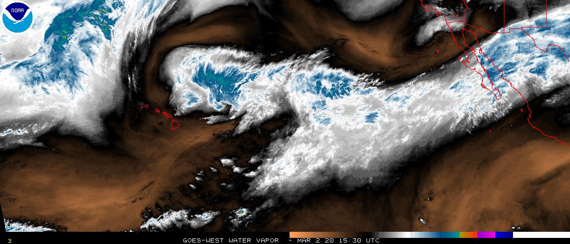
http://www.ssd.noaa.gov/goes/west/tpac/flash-wv.html
dry air is what Daniel is fighting, Emly is close on his heels and will not have to fight the dry air like daniel has, based on the GFS and what the NHC has posted, it looks like Daniel is follwing his course...
Shear forcast for pacific...
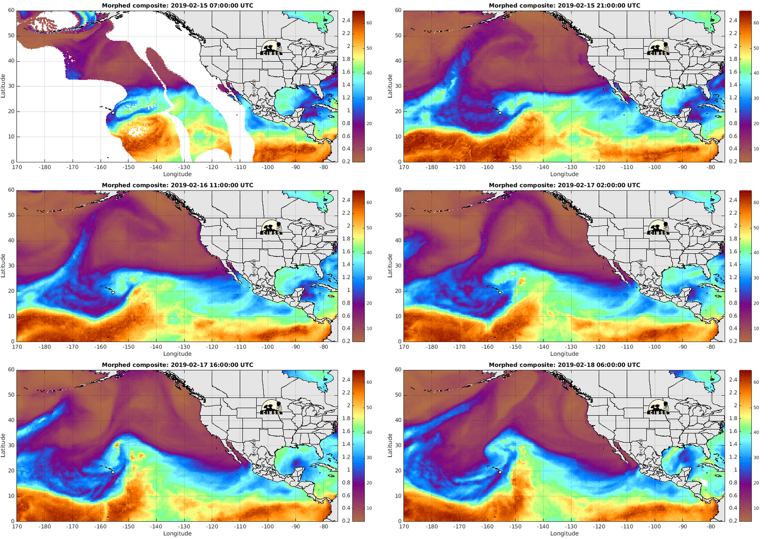
MIMIC
Steering winds 700-850 mb
http://tropic.ssec.wisc.edu/real-time/eastpac/movies/wg9dlm1/wg9dlm1java.html
Hope this helps Hannah
41
In this thread:
97E.INVEST & 04E.DANIEL
-
hanna
,
7/7/2012, 2:47 pm
Re: 97E.INVEST & 04E.DANIEL
-
Shalista
,
7/8/2012, 2:03 pm
Re: 97E.INVEST & 04E.DANIEL -
Shalista
,
7/8/2012, 2:21 pm
Re: 97E.INVEST & 04E.DANIEL
-
Shalista
,
7/8/2012, 7:26 pm
Re: 97E.INVEST & 04E.DANIEL
-
hanna
,
7/8/2012, 6:50 pm
Re: 97E.INVEST & 04E.DANIEL
-
Shalista
,
7/8/2012, 7:24 pm
< Return to the front page of the:
message board
|
monthly archive this page is in
Post A Reply
This thread has been archived and can no longer receive replies.