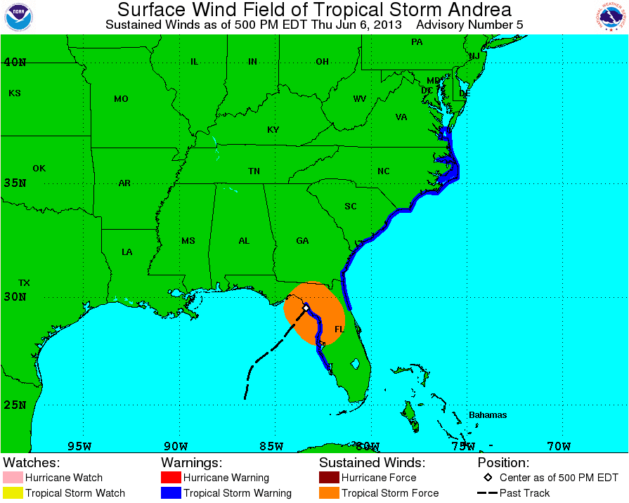
starting with the 5 PM Thursday discussion
Posted by
cypresstx on 6/8/2013, 5:01 am
they started using a version of this:
BASED ON THE ASSUMPTION THAT ANDREA WILL BECOME
POST-TROPICAL/EXTRATOPICAL IN ABOUT 36 HOURS...WE DO NOT EXPECT TO
EXTEND THE TROPICAL WARNINGS ANY FARTHER NORTH ALONG THE COAST.
OUR CURRENT INTENTION IS THAT ANY HAZARDOUS WIND CONDITIONS FROM
THE DELMARVA PENINSULA NORTHWARD TO NEW ENGLAND WOULD BE HANDLED BY
LOCAL NATIONAL WEATHER SERVICE WARNING PRODUCTS.
at that time had this warning graphic:

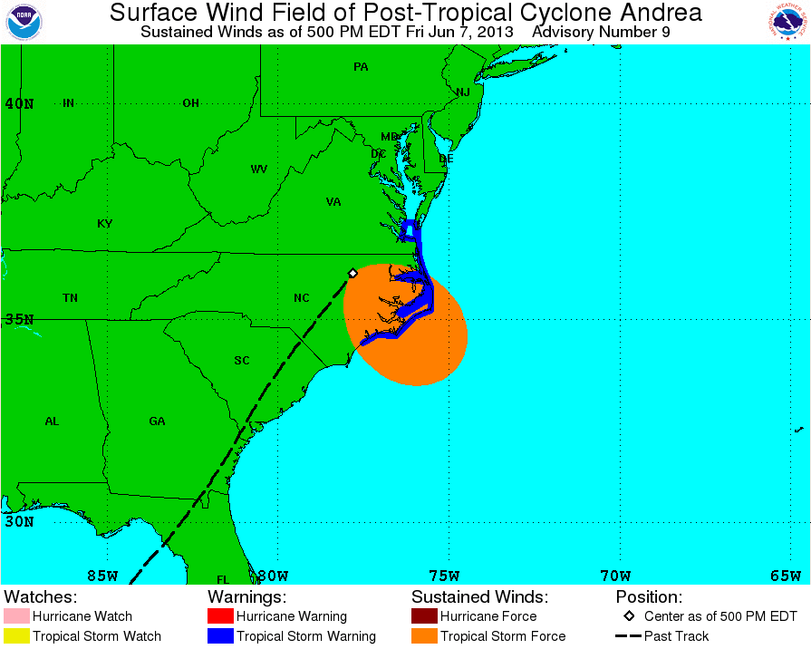
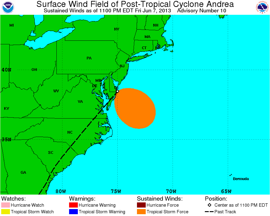
tropical storm warnings have not been issued any further north since then, here's the 5 & 11 PM Fri:
5PM

11PM
THE THREAT FOR HIGH WINDS...HEAVY RAINFALL...AND LOCALIZED COASTAL
FLOODING WILL CONTINUE SATURDAY ACROSS NEW JERSEY AND NEW ENGLAND.
HAZARDOUS CONDITIONS IN THESE AREAS WILL CONTINUE TO BE
COMMUNICATED THROUGH LOCAL NATIONAL WEATHER SERVICE WARNING
PRODUCTS.

WPC still did QPF graphics at 7 PM Fri & NHC links to them in their Andrea section
SPCs site is also linked
NWS Local Statements are also linked, so anyone can see at a glance what NWS offices are issuing warnings, within the local statement overview page is a link to NWS experimental graphical local impacts
satellite, buoy & the NDFD's new graphical forecast site for specific areas affected are all available with links
anyone who still needs/wants to track the progress of the storm can go to one place & at least find links to the NOAA area that's responsible for that data
I think it's working just how it should when a storm transitions from tropical to sub or post-tropical but still affects the US & the average Joe who doesn't live & breath weather & doesn't have 100 links in their weather bookmarks is better informed & safer because it's being done this way
if there are many storms ongoing at once, it might get crazy, but NOAA has had 6 months to come up with a plan/budget for the added/changed responsibilities since Sandy & if they haven't, they should have cuz that was a big snafu in the eyes of Joe taxpayer
|
93
In this thread:
Post A Reply
This thread has been archived and can no longer receive replies.
