Home
|
Post New Message
|
Member Map
|
Chat
|
Register
|
Login
--- Quick Links ---
HurricaneCity.com
- Live Broadcast (when hurricanes hit)
- City / Island Database for Landfalls
- City / Island Ranking (top 50)
- Donate to HurricaneCity
- Jim's City Predictions
- Hurricane Models (from NHC)
- Hurricane Hunter Reconnaissance
- How to Use Hurricane Maps
TropicalAtlantic.com
- Satellite Imagery
- Radar Imagery
- Other Model Data
HurricaneCity
|
|
Rules
|
Settings
CaneTalk
Home Page
Post New Message
Member Map
Chat Room
Search
Register
Login
Help
Contact HurricaneCity
Contact The Webmaster
Board Rules
Terms of Use
Privacy Policy
Settings
HurricaneCity
Home Page
Live Broadcast (when hurricanes hit)
City / Island Database for Landfalls
City / Island Ranking (top 50)
Jim's City Predictions
Hurricane Models (from NHC)
Hurricane Hunter Reconnaissance
How to Use Hurricane Maps
Donate to HurricaneCity
Tropical Atlantic
Home Page
Satellite Imagery
Radar Imagery
Other Model Data
Re: 03E.THREE is now 03E.COSME
Posted by
tvsteve
on 6/24/2013, 4:14 pm
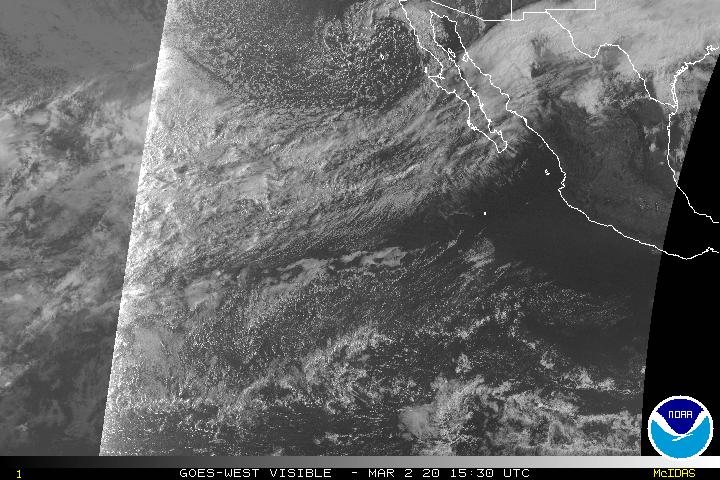
Yes, and also starting to get some good images on the GOES West now.
Loop:
http://www.ssd.noaa.gov/goes/west/epac/flash-vis.html
Still Image:
http://www.ssd.noaa.gov/goes/west/epac/vis.jpg
72
In this thread:
94EINVEST 95EINVEST 95WINVEST 05WBEBINCA
-
hanna
,
6/22/2013, 3:27 pm
94EInvest is now 03E.THREE
-
hanna
,
6/23/2013, 9:43 pm
Re: 94EInvest is now 03E.THREE
-
Tiny
,
6/24/2013, 8:09 am
03E.THREE is now 03E.COSME
-
hanna
,
6/24/2013, 2:15 pm
Re: 03E.THREE is now 03E.COSME -
tvsteve
,
6/24/2013, 4:14 pm
03E.COSME imho turning into a beautiful storm
-
hanna
,
6/25/2013, 10:22 am
< Return to the front page of the:
message board
|
monthly archive this page is in
Post A Reply
This thread has been archived and can no longer receive replies.