Home
|
Post New Message
|
Member Map
|
Chat
|
Register
|
Login
--- Quick Links ---
HurricaneCity.com
- Live Broadcast (when hurricanes hit)
- City / Island Database for Landfalls
- City / Island Ranking (top 50)
- Donate to HurricaneCity
- Jim's City Predictions
- Hurricane Models (from NHC)
- Hurricane Hunter Reconnaissance
- How to Use Hurricane Maps
TropicalAtlantic.com
- Satellite Imagery
- Radar Imagery
- Other Model Data
HurricaneCity
|
|
Rules
|
Settings
CaneTalk
Home Page
Post New Message
Member Map
Chat Room
Search
Register
Login
Help
Contact HurricaneCity
Contact The Webmaster
Board Rules
Terms of Use
Privacy Policy
Settings
HurricaneCity
Home Page
Live Broadcast (when hurricanes hit)
City / Island Database for Landfalls
City / Island Ranking (top 50)
Jim's City Predictions
Hurricane Models (from NHC)
Hurricane Hunter Reconnaissance
How to Use Hurricane Maps
Donate to HurricaneCity
Tropical Atlantic
Home Page
Satellite Imagery
Radar Imagery
Other Model Data
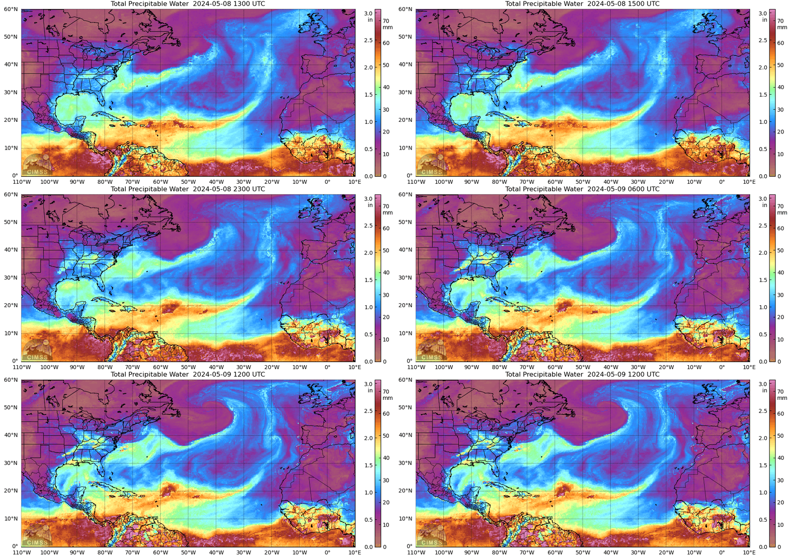
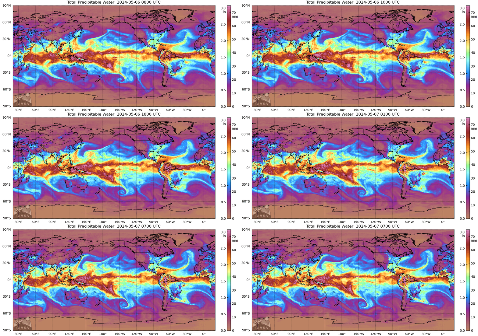
MIMIC TPW2
Posted by
cypresstx
on 9/8/2018, 10:48 am
from
http://tropic.ssec.wisc.edu/real-time/mtpw2
North Atlantic
whole shebang
experimental TPW2-m here
http://tropic.ssec.wisc.edu/real-time/mtpw2m/
- this view lets you choose which layer in the atmosphere to view also, but images only available in html
83
In this thread:
Florence Pics (Saturday morning)
-
Target
,
9/8/2018, 10:08 am
Re: Florence Pics (Saturday morning)
-
AquaRN
,
9/8/2018, 4:19 pm
Re: Florence Pics (Saturday morning)
-
Shalista
,
9/8/2018, 4:30 pm
MIMIC TPW2 -
cypresstx
,
9/8/2018, 10:48 am
Latest Satellite
-
tvsteve
,
9/8/2018, 2:35 pm
RAMMB RAMSDIS Online MDS 2
-
cypresstx
,
9/8/2018, 4:59 pm
< Return to the front page of the:
message board
|
monthly archive this page is in
Post A Reply
This thread has been archived and can no longer receive replies.