Gridded Marine, 72 hrs
Posted by cypresstx on 11/5/2022, 6:32 am
21
In this thread:
Key Messages for a 40% in the 5-day - cypresstx, 11/4/2022, 4:04 pm
- now it's Invest 98L - cypresstx, 11/6/2022, 8:54 am
- NHC doing a live update - cypresstx, 11/6/2022, 11:34 am
- some thoughts from wxtwitter - cypresstx, 11/6/2022, 12:13 pm
- from NHC TAFB - cypresstx, 11/6/2022, 12:53 pm
- Re: from NHC TAFB - stevemc12, 11/6/2022, 1:14 pm
- 1pm EST Sunday Nov 6--Key Messages for Area of Low Pressure over the SW Atlantic. - cypresstx, 11/6/2022, 1:50 pm
- updating link for most recent Key Messages graphic - cypresstx, 11/6/2022, 2:30 pm
- Mark Sudduth: "The time for downplaying this is over. This will be a big deal - treat it as such." - cypresstx, 11/6/2022, 1:58 pm
- Eye on the Storm by Jeff Masters & Bob Henson - cypresstx, 11/6/2022, 2:41 pm
- 1pm EST Sunday Nov 6--Key Messages for Area of Low Pressure over the SW Atlantic. - cypresstx, 11/6/2022, 1:50 pm
- Re: from NHC TAFB - stevemc12, 11/6/2022, 1:14 pm
- from NHC TAFB - cypresstx, 11/6/2022, 12:53 pm
- some thoughts from wxtwitter - cypresstx, 11/6/2022, 12:13 pm
- NHC doing a live update - cypresstx, 11/6/2022, 11:34 am
- 80% chance within 5 days as of 8pm EDT Saturday - Chris in Tampa, 11/6/2022, 6:00 am
- speaking of time - cypresstx, 11/6/2022, 7:55 am
- 70/90% in 2/5 days as of 7am Sunday - cypresstx, 11/6/2022, 7:04 am
- no "key messages" update in over 12 hrs - cypresstx, 11/6/2022, 7:31 am
- I guess they are still on DST - cypresstx, 11/6/2022, 8:30 am
- no "key messages" update in over 12 hrs - cypresstx, 11/6/2022, 7:31 am
- Re: Key Messages for a 40% in the 5-day - cypresstx, 11/4/2022, 8:11 pm
- 60% now for 5 day - Chris in Tampa, 11/5/2022, 4:16 am
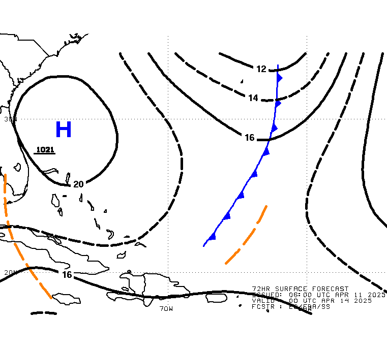
- OPC shows it as PTC in 72 hr surface - cypresstx, 11/5/2022, 6:23 am
- NHC's TWO - cypresstx, 11/5/2022, 6:37 am
- typo, meant "NHC's " n/t - cypresstx, 11/5/2022, 6:48 am
- WPC Days 3-7 graphic - cypresstx, 11/5/2022, 11:56 am
- typo, meant "NHC's " n/t - cypresstx, 11/5/2022, 6:48 am
- NHC's TWO - cypresstx, 11/5/2022, 6:37 am
- OPC shows it as PTC in 72 hr surface - cypresstx, 11/5/2022, 6:23 am
- 60% now for 5 day - Chris in Tampa, 11/5/2022, 4:16 am
Post A Reply
This thread has been archived and can no longer receive replies.