Brian McNoldy blog post
Posted by
cypresstx on 10/4/2024, 10:04 am
https://bmcnoldy.blogspot.com/2024/10/hurricane-kirk-strengthens-tropical_4.html
he also covers the Gulf disturbance:
Then, there's the broad disturbance in the Gulf of Mexico that we've been watching since at least last Thursday. There's not much to look at right now, but NHC is giving it a 40% probability of becoming a tropical cyclone within a week, and the models are still pretty scattered about what to do with it.
There's general agreement that it will begin to drift east toward the Florida peninsula, with rainfall beginning on Sunday and lasting for days. It could develop into a tropical or subtropical depression or storm by then, but wind will not be the primary hazard from this; it will be rain. Several models are now showing a weak low pressure center over south or central Florida on Tuesday into Wednesday, possibly a low-end tropical storm. The next name on the list is Milton.
The WPC's latest 7-day rainfall forecast is shown below, and it will evolve, but the entire peninsula should be paying attention to this in the coming days -- not just for the flooding potential, but the small chance that it intensifies more than models are currently showing.
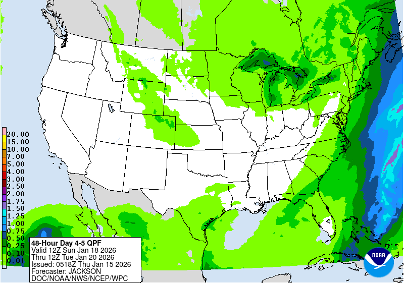
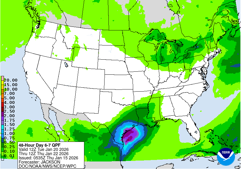
7-day QPF looks ominous, breaking it down incrementally looks less so
1-3

4-5

6-7

|
18
In this thread:
Post A Reply
This thread has been archived and can no longer receive replies.


