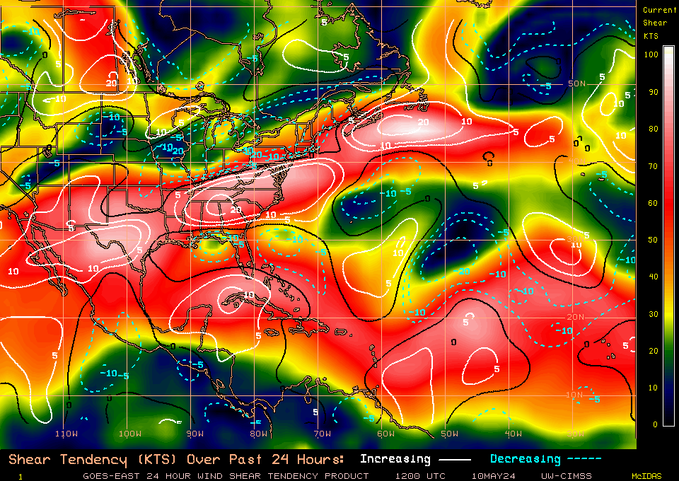
North of Honduras
Posted by
JAC on 7/8/2009, 7:29 am
Southern axis of wave is firing shear-induced MCS just north of Honduras.
This is all MCS, in a high shear environment. Nothing on 850mb vorticity.
However, wave's westward track seems to be stalling out and amplifying into the southern GOM.
Need to keep an eye on the convection off Honduras and see if it persists.
If cells top 60K-ft for a while, this could re-direct shear.


TROPICAL WEATHER DISCUSSION
NWS TPC/NATIONAL HURRICANE CENTER MIAMI FL
805 AM EDT WED JUL 08 2009
A TROPICAL WAVE HAS MOVED INLAND ALONG 88W...STRETCHING FROM
THE NORTHEASTERN YUCATAN PENINSULA TO WESTERN HONDURAS TO
EL SALVADOR AND BEYOND. IT IS POSSIBLE THAT I HAVE MOVED THIS
WAVE TO THE WEST AT TOO FAST A PACE. STRONG CONVECTIVE
PRECIPITATION REMAINS FROM THE COASTAL WATERS OF EASTERN
NICARAGUA NEAR 12N83W TO 18N85W. IT IS POSSIBLE TOO THAT
THIS CONVECTIVE PRECIPITATION ALSO IS MAINTAINING ITSELF
IN THE UPPER LEVEL DIFFLUENT WIND FLOW...GIVEN THE POSITIONS
OF A SOUTHWESTERN GULF OF MEXICO CYCLONIC CIRCULATION CENTER
THAT IS NEAR 20N92W AND ANTICYCLONIC FLOW IN THE WESTERN
CARIBBEAN SEA.

|
92
In this thread:
NW GOM Getting Setup -
JAC,
7/7/2009, 6:19 am- North of Honduras - JAC, 7/8/2009, 7:29 am
Post A Reply
This thread has been archived and can no longer receive replies.