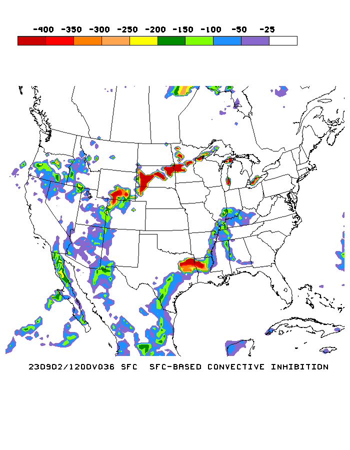
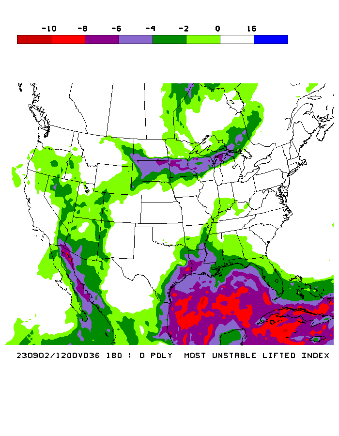
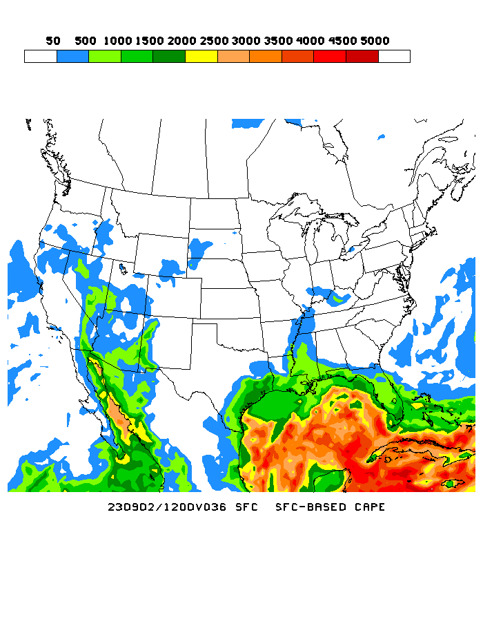
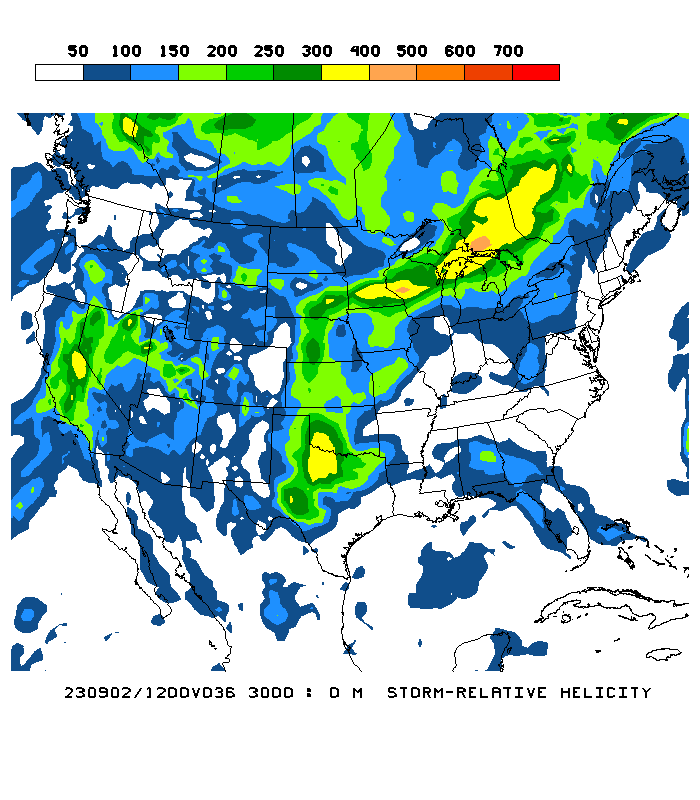
SREF confirms strong STP chances for OK, KS later Thursday Evening - Capping will be Key
Posted by JAC on 4/28/2010, 12:18 pm
16
In this thread:
Next possible severe event 4/29 to 4/30 Southern Plains - JAC, 4/26/2010, 12:42 pm
- Uncapped STP in East OK - JAC, 4/30/2010, 1:21 pm
- Squall Line moving into STP Bulls-Eye - JAC, 4/30/2010, 6:24 pm
- Dangerous Situation - JAC, 4/30/2010, 8:59 pm
- Re: Uncapped STP in East OK - JAC, 4/30/2010, 2:35 pm
- High Threat for Torandoes - JAC, 4/30/2010, 2:59 pm
- Re: High Threat for Torandoes - JAC, 4/30/2010, 3:02 pm
- High Threat for Torandoes - JAC, 4/30/2010, 2:59 pm
- Squall Line moving into STP Bulls-Eye - JAC, 4/30/2010, 6:24 pm
- MCS thru upper MS-Valley this afternoon - JAC, 4/30/2010, 1:16 pm
- Looks deadly - let's hope caps stay in place over the target areas. - JAC, 4/29/2010, 7:37 am
- Positive Tilt Shortwave for Saturday - JAC, 4/28/2010, 11:59 am
- AR, LA, and East TX under-the-gun Saturday Afternoon - JAC, 4/28/2010, 12:22 pm
- Little if any cap, very strong helicity, CAPE = 3000, LI = -9 - JAC, 4/28/2010, 12:32 pm
- AR, LA, and East TX under-the-gun Saturday Afternoon - JAC, 4/28/2010, 12:22 pm
- NAM STP for Thursday Evening - JAC, 4/27/2010, 12:27 pm
- 110 Knot Jet, Negative Tilted. Cutoff at 500mb - JAC, 4/26/2010, 12:57 pm
- 976mb Surface Low - JAC, 4/26/2010, 12:52 pm
- Forecast shows plenty of ammo - JAC, 4/26/2010, 12:47 pm
Post A Reply
This thread has been archived and can no longer receive replies.

