CMC is getting more aggresive with the Mid-Atlantic Wave
Posted by
JAC on 6/7/2010, 2:27 pm
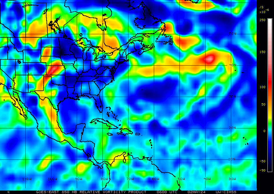
Though not forecast as a full-blown warm-core yet, CMC is showing a LLC moving straight thru the Carib.
http://moe.met.fsu.edu/cgi-bin/cmctc2.cgi?time=2010060712&field=850mb+Vorticity&hour=Animation
Windsat showing a very well defined V-shape convergence.
Convection firing in clusters with stacked UL Divergence and LL Convergence.
Anti-cylone and good outlfow has been persistant for the last 24 hrs.
Water will be getting real hot at about 55W.
TROPICAL WEATHER DISCUSSION
NWS TPC/NATIONAL HURRICANE CENTER MIAMI FL
205 PM EDT MON JUN 07 2010
TROPICAL WAVE IS ALONG 41W FROM 4N TO 11N MOVING WEST 10-15 KT.
WAVE IS BEGINNING TO TRAIL A MOISTURE MAXIMUM ON THE TOTAL
PRECIPITABLE WATER IMAGERY WITH WELL DEFINED CYCLONIC CURVATURE
ALONG THE WAVE AXIS. CLUSTERS OF SCATTERED MODERATE TO ISOLATED
STRONG CONVECTION ARE WITHIN 180 NM ON EITHER SIDE OF THE WAVE
AXIS.


|
179
In this thread:
CMC is getting more aggresive with the Mid-Atlantic Wave - JAC, 6/7/2010, 2:27 pm Post A Reply
This thread has been archived and can no longer receive replies.


