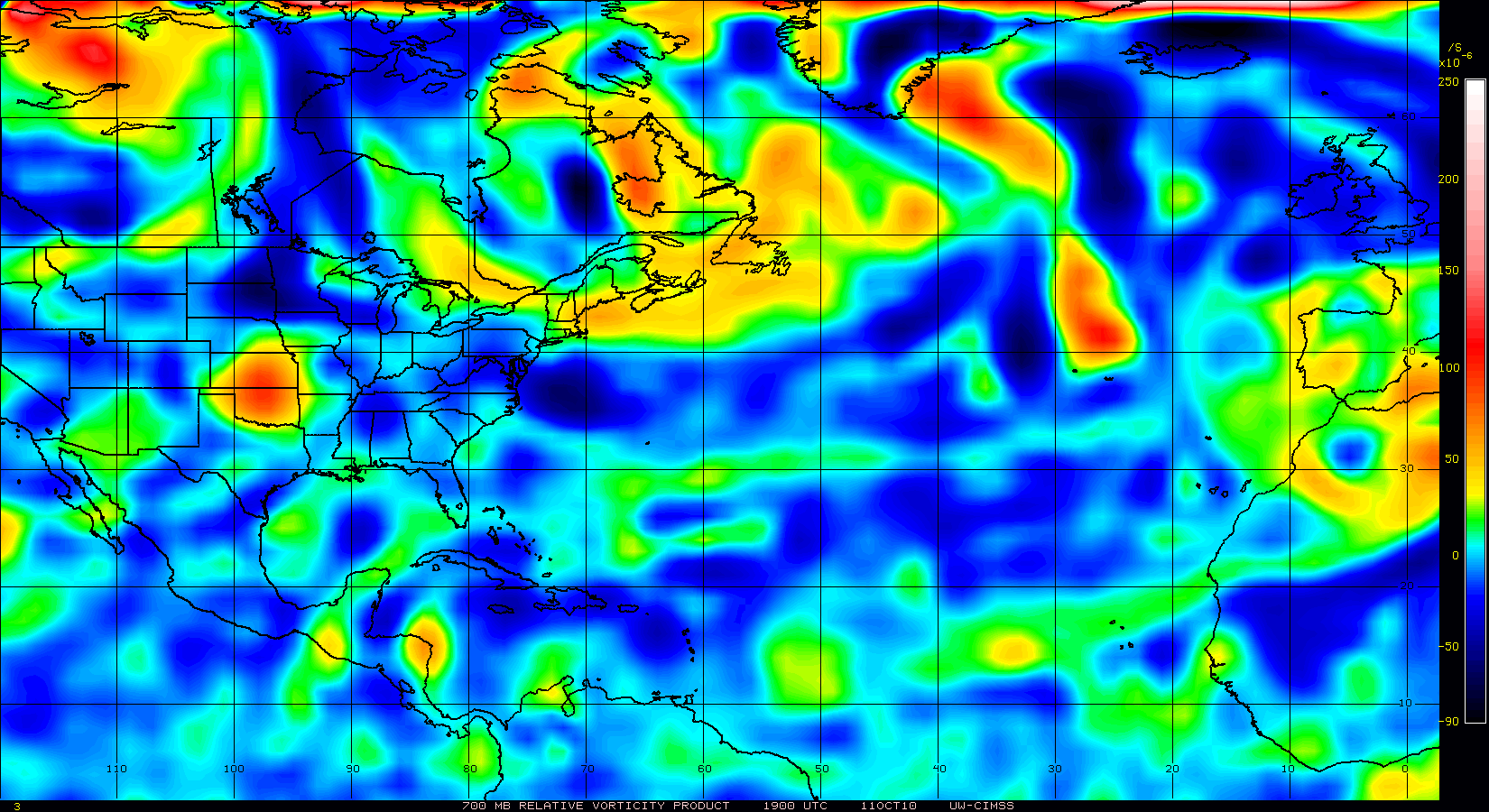
Maybe a little clarification is needed
Posted by JAC on 8/8/2010, 10:58 pm


111
In this thread:
94L Looking Good - JAC, 8/8/2010, 8:26 pm
- RECON currently scheduled for Tuesday in East GOM - JAC, 8/8/2010, 9:41 pm
- Maybe not now but in a few days - GFDL - WOW! - DTB_2009, 8/8/2010, 9:20 pm
- Re: 94L Looking Good - jimw, 8/8/2010, 9:08 pm
- Re: 94L Looking Good - JAC, 8/8/2010, 9:30 pm
- Re: 94L Looking Good - jimw, 8/8/2010, 10:41 pm
- Re: 94L Looking Good - ArgosyTn, 8/8/2010, 11:35 pm
- Re: 94L Looking Good - BobbiStorm, 8/8/2010, 10:45 pm
- Re: 94L Looking Good - jimw, 8/8/2010, 10:41 pm
- Re: 94L Looking Good - JAC, 8/8/2010, 9:30 pm
Post A Reply
This thread has been archived and can no longer receive replies.