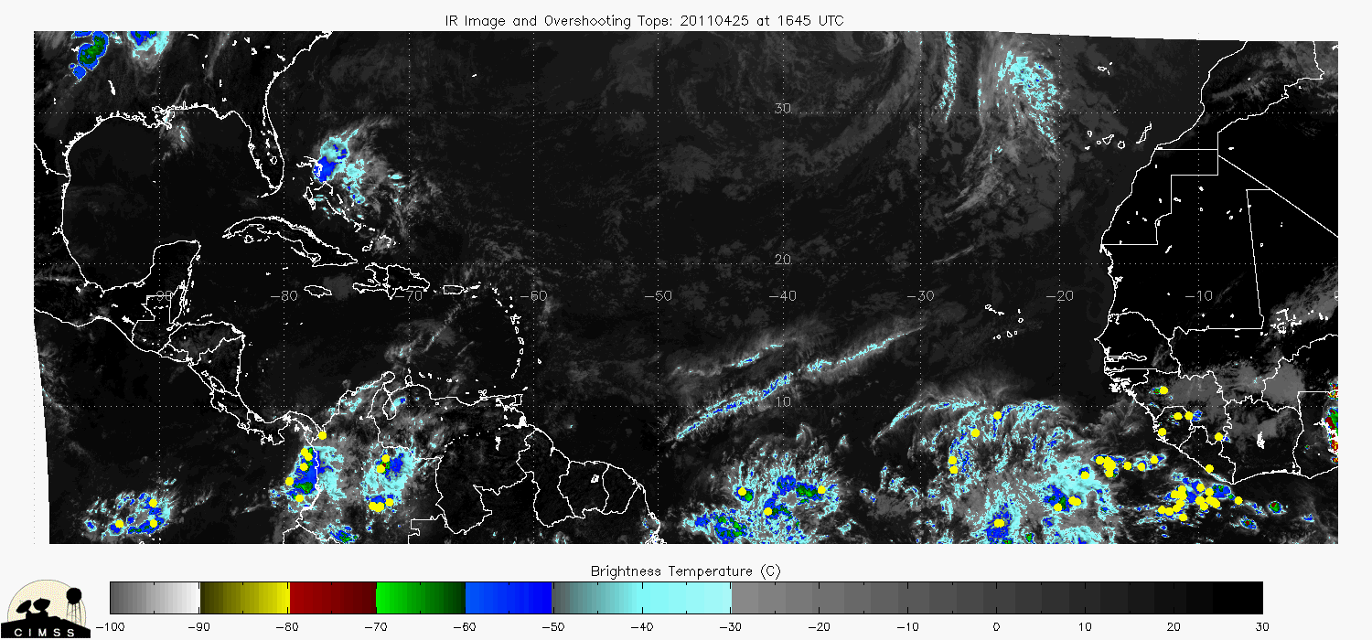
the location of overshooting tops
Posted by CypressTX on 8/18/2010, 5:39 pm
49
In this thread:
So Where's the Frickin CV TC Already? - JAC, 8/18/2010, 7:23 am
- Re: So Where's the Frickin CV TC Already? - BobbiStorm, 8/19/2010, 8:28 am
- ps those models will it have it hitting iceland on the next run - BobbiStorm, 8/18/2010, 10:33 pm
- Here we go: 13N 24W - JAC, 8/18/2010, 10:07 pm
- Re: Here we go: 13N 24W - BobbiStorm, 8/18/2010, 10:32 pm
- Re: So Where's the Frickin CV TC Already? - canetrakker, 8/18/2010, 8:51 pm
- Re: So Where's the Frickin CV TC Already? - Jackstraw, 8/18/2010, 8:56 pm
- Latest CIMSS Take - Forget about Watching Models for Genesis - JAC, 8/18/2010, 2:37 pm
- i'll give 34 (soon to be 34) a 50/50 chance to develop - BobbiStorm, 8/18/2010, 6:01 pm
- Re: Latest CIMSS Take - Forget about Watching Models for Genesis - ArgosyTn, 8/18/2010, 5:01 pm
- Re: Latest CIMSS Take - Forget about Watching Models for Genesis - BobbiStorm, 8/18/2010, 6:02 pm
- Re: Latest CIMSS Take - Forget about Watching Models for Genesis - jimw, 8/19/2010, 7:22 am
- Re: Latest CIMSS Take - Forget about Watching Models for Genesis - BobbiStorm, 8/18/2010, 6:02 pm
- Cool view as this hits the water - JAC, 8/18/2010, 9:27 am
- Re: Cool view as this hits the water - hanna, 8/18/2010, 5:16 pm
- Re: Cool view as this hits the water - hanna, 8/18/2010, 5:16 pm
- Re: So Where's the Frickin CV TC Already? - BobbiStorm, 8/18/2010, 8:48 am
- Re: So Where's the Frickin CV TC Already? - Hurricane Ranger, 8/18/2010, 8:10 am
- Re: So Where's the Frickin CV TC Already? - BobbiStorm, 8/18/2010, 8:37 am
- Re: So Where's the Frickin CV TC Already? - JAC, 8/18/2010, 8:13 am
- Re: So Where's the Frickin CV TC Already? - Conclue, 8/18/2010, 11:25 am
- Re: So Where's the Frickin CV TC Already? - BobbiStorm, 8/18/2010, 2:51 pm
- Re: So Where's the Frickin CV TC Already? - Conclue, 8/18/2010, 11:25 am
Post A Reply
This thread has been archived and can no longer receive replies.