About GANDALF
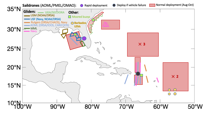
GANDALF, the Gulf AUV Network, Data Archive and Layer Fusing (
http://gandalf.gcoos.org) was conceived as an aid to AUV pilots operating in the Gulf of Mexico. GANDALF provides real-time vehicle positioning information via a maps-based interface with dashboard display, plots of flight and science sensors, Google Earth KMZ file generation and access to processed data files.
GANDALF is equipped with numerous layers that can be individually displayed on the base map. Each layer's transparency can be individually adjusted allowing for 'mash-ups' of layers. Provided layers include CONUS NEXRAD, GOES visible and GOES infrared satellite images, sea surface temperature and chlorophyll images from the University of South Florida, sea surface heights from CCAR and NOAA raster navigational charts.
In addition to the observational layers several model outputs are provided including the Naval Research Lab's ensemble of sea surface velocity, sea surface temperature and sea surface elevation. During a deployment NetCDF files are created from uploaded glider data files and uploaded to the IOOS Glider DAC.
GANDALF provides post-processing of mission data for AUV operators. Binary data files and text log files are downloaded from operator's servers and publication quality plots are generated. Mission files are permanently archived on the GANDALF server.
GANDALF provides a valuable service for AUV operators and is particularly useful to glider operators that have little or no IT support. GANDALF services are provided at no cost to users: all that is needed is access to glider data files.
