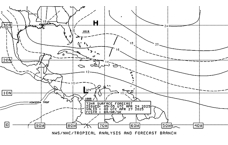
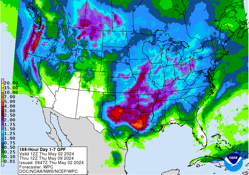
Fri AM, 10% (yellow) & 60% (orange)
Posted by cypresstx on 6/3/2016, 9:38 am
116
In this thread:
TWO at 2 , 20% in the Gulf - cypresstx, 6/1/2016, 3:32 pm
- Graphical Gulf of Mexico Offshore Marine Forecasts - cypresstx, 6/2/2016, 6:31 am
- Re: Graphical Gulf of Mexico Offshore Marine Forecasts - Chris in Tampa, 6/2/2016, 7:32 am
- Re: Graphical Gulf of Mexico Offshore Marine Forecasts - cypresstx, 6/2/2016, 9:04 am
- oh, and it's up to 30% in 5 days now - cypresstx, 6/2/2016, 9:05 am
- Re: oh, and it's up to 30% in 5 days now - Shalista, 6/3/2016, 11:20 am
- Caribbean Invest? - Target, 6/2/2016, 9:39 am
- 13N80W Green Spot on Funktop Loop - Target, 6/2/2016, 10:01 am
- Re: Fri AM, 10% (yellow) & 60% (orange) - tvsteve, 6/3/2016, 11:09 am
- Re: Fri AM, 10% (yellow) & 60% (orange) - Shalista, 6/3/2016, 11:27 am
- about tcgen - cypresstx, 6/3/2016, 9:59 am
- Tropical Tidbit, Levi Cowen - cypresstx, 6/3/2016, 10:21 am
- Re: Tropical Tidbit, Levi Cowen - cypresstx, 6/3/2016, 1:35 pm
- Tropical Tidbit, Levi Cowen - cypresstx, 6/3/2016, 10:21 am
- Re: Fri AM, 10% (yellow) & 60% (orange) - tvsteve, 6/3/2016, 11:09 am
- 13N80W Green Spot on Funktop Loop - Target, 6/2/2016, 10:01 am
- oh, and it's up to 30% in 5 days now - cypresstx, 6/2/2016, 9:05 am
- Re: Graphical Gulf of Mexico Offshore Marine Forecasts - cypresstx, 6/2/2016, 9:04 am
- Re: Graphical Gulf of Mexico Offshore Marine Forecasts - Chris in Tampa, 6/2/2016, 7:32 am
Post A Reply
This thread has been archived and can no longer receive replies.

