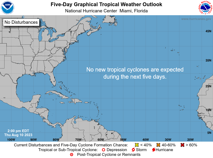
forgot to add - 5-day is now 70%
Posted by cypresstx on 5/31/2022, 2:37 pm
33
In this thread:
EastPAC's Agatha & Atlantic 5-day - cypresstx, 5/28/2022, 2:43 pm
- 2am EDT Tuesday: 60% chance within 5 days - Chris in Tampa, 5/31/2022, 2:47 am
- Brian McNoldy did a blog post - cypresstx, 5/31/2022, 2:32 pm
- Brian McNoldy did a blog post - cypresstx, 5/31/2022, 2:32 pm
- Agatha made history in EastPAC hurricane landfalls - cypresstx, 5/30/2022, 8:15 pm
- Re: Agatha made history in EastPAC hurricane landfalls - Chris in Tampa, 5/30/2022, 11:32 pm
- Agatha: "Hold my beer!" - cypresstx, 5/29/2022, 5:22 pm
- Re: Agatha: "Hold my beer!" - Chris in Tampa, 5/29/2022, 6:04 pm
- How I create those images - O/T - Chris in Tampa, 5/29/2022, 6:16 pm
- Even more on how to create those images - O/T - Chris in Tampa, 5/30/2022, 8:23 am
- Re: Even more on how to create those images - O/T - cypresstx, 5/30/2022, 8:51 am
- Re: Agatha and potential Atlantic formation - Chris in Tampa, 5/30/2022, 9:52 am
- Re: Even more on how to create those images - O/T - cypresstx, 5/30/2022, 8:51 am
- Even more on how to create those images - O/T - Chris in Tampa, 5/30/2022, 8:23 am
- How I create those images - O/T - Chris in Tampa, 5/29/2022, 6:16 pm
- Re: Agatha: "Hold my beer!" - Chris in Tampa, 5/29/2022, 6:04 pm
- now Hurricane Agatha & Atlantic 5-day is up to 30% - cypresstx, 5/29/2022, 8:06 am
- Re: EastPAC's Agatha & Atlantic 5-day - Chris in Tampa, 5/28/2022, 4:45 pm
- Re: EastPAC's Agatha & Atlantic 5-day - cypresstx, 5/28/2022, 8:03 pm
Post A Reply
This thread has been archived and can no longer receive replies.
