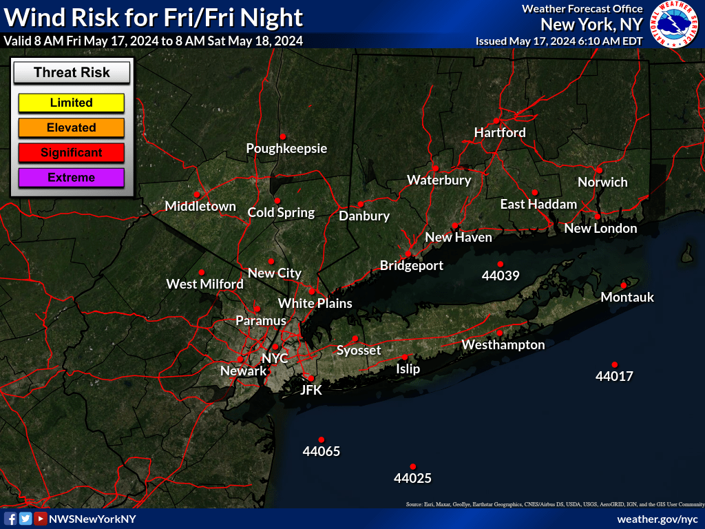
Damaging winds, coastal flooding tonight/overnight
Posted by Fred on 1/9/2024, 6:34 pm
| Here on Long Island we are expecting damaging wind gust of up to 70mph tonight. Hope I don't lose power(If we do hope it will be after the Islanders game is over) Extreme--- Extremely windy conditions will damage numerous trees and cause widespread power outages. Sustained winds greater than 50 mph or gusts greater than 65 mph  URGENT - WEATHER MESSAGE National Weather Service New York NY 333 PM EST Tue Jan 9 2024 CTZ008>012-NJZ006-NYZ071>075-078>081-176>179-101100- /O.CON.KOKX.HW.W.0001.240109T2300Z-240110T1100Z/ Northern New London-Southern Fairfield-Southern New Haven- Southern Middlesex-Southern New London-Hudson- Southern Westchester-New York (Manhattan)-Bronx- Richmond (Staten Island)-Kings (Brooklyn)-Northwest Suffolk- Northeast Suffolk-Southwest Suffolk-Southeast Suffolk- Northern Queens-Northern Nassau-Southern Queens-Southern Nassau- 333 PM EST Tue Jan 9 2024 ...HIGH WIND WARNING REMAINS IN EFFECT UNTIL 6 AM EST WEDNESDAY... * WHAT...Southeast winds 30 to 40 mph with gusts up to 55 to 65 mph expected. Isolated gusts up to 70 mph possible. * WHERE...Portions of southern Connecticut, northeast New Jersey and southeast New York. * WHEN...Until 6 AM EST Wednesday. * IMPACTS...Damaging winds will blow down numerous tree limbs, as well as scattered trees and power lines. Power outages are likely. Travel will be difficult, especially for high profile vehicles. PRECAUTIONARY/PREPAREDNESS ACTIONS... People should avoid being outside in forested areas and around trees and branches. If possible, remain in the lower levels of your home during the windstorm, and avoid windows. Use caution if you must drive. Coastal Hazard Message National Weather Service New York NY 333 PM EST Tue Jan 9 2024 NYZ079>081-179-101800- /O.CON.KOKX.CF.W.0001.240109T2100Z-240110T1800Z/ Northeast Suffolk-Southwest Suffolk-Southeast Suffolk- Southern Nassau- 333 PM EST Tue Jan 9 2024 ...COASTAL FLOOD WARNING REMAINS IN EFFECT UNTIL 1 PM EST WEDNESDAY... * WHAT...1 to 2 ft of inundation above ground level expected in vulnerable areas near the waterfront and shoreline with this evening high tide cycle. 2 to 2 1/2 feet of inundation above ground level expected in vulnerable areas near the waterfront and shoreline with the Wednesday morning high tide cycle with locally 3 ft possible of inundation possible. * WHERE...Northeast Suffolk, Southwest Suffolk, Southeast Suffolk and Southern Nassau Counties. * WHEN...From 4 PM this afternoon to 1 PM EST Wednesday. * COASTAL FLOOD IMPACTS...Widespread moderate flooding, locally major flooding, of vulnerable areas near the waterfront and shoreline, particularly Wednesday morning. Expect 2 to 2 1/2 ft, locally 3 feet of inundation above ground level in low lying, vulnerable areas. This will result in numerous road closures and cause widespread flooding of low lying property including parking lots, parks, lawns and homes/businesses with basements near the waterfront. Vehicles parked in vulnerable areas near the waterfront will likely become flooded. Flooding will also extend inland from the waterfront along tidal rivers and bays. * SHORELINE IMPACTS...Large breaking waves of 15 to 20 ft along the oceanfront will result in widespread dune erosion and damage to dune structures. Scattered overwashes are expected, resulting in some flooding of roadways and vulnerable structures behind protective dunes. Isolated breaches or inundation of the barrier island is possible where dune structures have been severely compromised by previous storms. * ADDITIONAL DETAILS...Peak surge of 4 to 5 ft will likely be between times of high tide this evening and Wednesday morning. Tidal piling will likely inhibit the recession of water before the Wednesday AM high tide, which could cause locally major flooding for area from Freeport eastward to Mastic. Of particular concern are areas along the eastern Great South Bay from Lindenhurst to Mastic and along the bay side of Fire Island, where west to southwest gale winds may pile waters Wednesday morning into afternoon along with 2 to 3 ft of wave action. Residents in vulnerable communities should prepare for the potential of major coastal flooding (3ft of inundation above ground). In addition, flooding may not fully recede overnight between this evening high tides due to tidal piling and heavy rainfall, with flooding likely increasing well before the time of high tide Wednesday morning. PRECAUTIONARY/PREPAREDNESS ACTIONS... Take the necessary actions to protect flood-prone property. If travel is required, do not drive around barricades or through water of unknown depth. |
166
In this thread:
Damaging winds, coastal flooding tonight/overnight - Fred, 1/9/2024, 6:34 pm
- Re: Damaging winds, coastal flooding tonight/overnight - Fred, 1/9/2024, 6:40 pm
- it blew through here yesterday - cypresstx, 1/9/2024, 8:48 pm
- Re: it blew through here yesterday - Chris in Tampa, 1/9/2024, 9:15 pm
- Re: it blew through here yesterday - Fred, 1/12/2024, 12:01 pm
- Re: it blew through here yesterday - Chris in Tampa, 1/12/2024, 8:30 pm
- Re: it blew through here yesterday - Fred, 1/13/2024, 8:51 am
- Re: it blew through here yesterday - Fred, 1/12/2024, 12:12 pm
- Re: it blew through here yesterday - Chris in Tampa, 1/12/2024, 8:30 pm
- Re: it blew through here yesterday - Fred, 1/12/2024, 12:01 pm
- Re: it blew through here yesterday - Chris in Tampa, 1/9/2024, 9:15 pm
- it blew through here yesterday - cypresstx, 1/9/2024, 8:48 pm
< Return to the front page of the: message board | monthly archive this page is in
Post A Reply
This thread has been archived and can no longer receive replies.